Friday, February 17, 2023

Veritable Heritage

Three influences in the one picture. 

Jack Mundy was president of the NSW Builders Labourers Federation from 1968 to 74 when he led the union to improve safety on building sites, but also to campsign for social and environmental improvements. He instigated the Green Bans that saved many historic buildings from destruction and forced developers to retain parkland and social housing.

GoughWhitlam, in his brief stint as PM and with the most radical government agenda in Australia's history, spiked the punch of cultural heritage in the early 70s by establishing the Australia Council and the Australian Heritage Commission. He also created opportunities for me snd countless others with no fee tertiary education (giving me somewhere to go other than factory work), no fault divorce (freeing my parents from each other), abolishing conscription (freeing me of the fear of war), supporting mothers' pension, (freeing my single sister from a life of struggle) and many other things that improved my family's life.

Verity Burgman was my lecturer in history at Melbourne Uni and although I didn't realise it at the time, turned me on to concepts of social justice and class. Her surprise at my approach to an essay on the environmental and social damage of American Railways in the 19th century made me realise everybody didn't already think like that.

https://www.google.com/amp/s/labourhistorymelbourne.org/2020/05/17/jack-mundey/amp/

Markwood Mill


Tucked in behind farm buildings between Everton and Markwood in northeast Victoria, is the only surviving standing building from a nineteenth century small scale water powered flour mill (as opposed to the huge Anderson Mill complex at Smeaton).

The "Ovens River Flour Mill" was constructed in about 1867 by partners James Henley and Jonathon Thomas Bell. Bell described himself as a mill owner in an 1868 inquiry into the death of Michael Manning, an employee at the mill, who accidentally drowned in the Ovens River.

In 1879 Bell left for Europe and held a clearing sale at the mill, after which little is heard about it, so presumably it had ceased milling.


The mill is a substantial structure of local sedimentary stone, with a grid of 4x2 290 mm square posts supporting two upper floor levels. the floorboards and beams were removed at some point to accommodate tobacco drying sticks. Shafts and pulleys from former milling equipment are also located in the roof space.


Evidence of the main wheel shaft and gearing can be glimpsed through gaps in the floor, and bolts from the bearings near the wheel pit. The shaft passed through the water wall through an arched opening. 


Saturday, December 17, 2022

Whitewashing Pentridge

Up the road in the old prison in Coburg are some new high-rise flats and shops with bits of old bluestone buildings and walls scattered around; a compromise of capitalist real estate and community heritage. Business boosters and property developers ;are getting maximum yield, and in turn there are some old buildings retained, some landscaping and heritage interpretation.

The interiors of gaol cells, exercise yards, workshops, stone breaking yards at Her Majesty's Prison Pentridge, were regularly painted with whitewash . Whitewashing covered the filth, blood, excrement and marks of brutality. It didn't hide the horror though.

Mark Holsworth has already made the point that Aboriginal lives have been omitted from the story of Pentridge, with no mention in the interpretation master plan. Despite the significant Ronald Bull mural locked away on F Division, and the impressive uncredited multipanel mural (possibly from the demolished Jika Jika) tucked in the nondescript apartment car park access lane, there has been a concerted effort to avoid truth telling for both the black and white damaged lives.

Mysterious mural at Pentridge.

Sawn through walls are everywhere. Incremental incursions have removed any sense of a place of punishment. Harshness is softenen by new lawns, street furniture and sandblasting the shit ad grime away.

remnants of prison

The back of supermarket has some giant graphics of building plans and context free cut steel letters spelling out random all caps 'CELL' 'ROBALD RYAN' 'NED KELLY' 'PANOPTICON'. Elsewhere, Dadaist cut outs of equally random but now referenced quotations about the 'neatly trimmed borders' form patterns in walls, stair risers' and sawn stone infills and pavers. 

Selective quotation puts the best light

Corporate developer greed, indifferent and hobbled heritage regulators and complicit consultants have moved the site of misery and horrific acts of inhuman cruelty towards a Disneyland of battlement-crowned castle walls and stone ramparts that fits with the marketable fairy story.

Ritchies IGA Dadaist poetry wall

It was probably always going to be too much to manage. Too much misery and bad history. Too much encumbered land getting in the way of profits. Too much profit to be made to let heritage truth and compassion stand in the way.

Friday, October 14, 2022

Carlton Inn demolition 6th anniversary

"On the 15th and 16th of October 2016 Stefce Kutlesovski and Raman Shaqiri, (now and forever known as 'The Corkman Cowboys'), through their company 'Shaq Demolitions', illegally knocked down the Carton Inn at 160 Leicester Street Carlton."

So says the guerilla heritage interpretation in the piddly park they were forced to construct on the rubble of the demolished pub. Sort of rubbing a dog's nose in it when it shits on the carpet.

They were subsequently convicted and fined under several planning, safety and environmental laws and then convicted of contempt and given gaol sentences for not abiding by court orders to clean up the site and create a park.

The park is something to be seen. A patch of roll-out turf, four seats facing the graffiti covered neighbour's wall and a few scraggly plants.


Of course they played the victims:

“I’m no longer Stefce Kutlesovski, I’m the Corkman cowboy. I’ve not just been penalised once, I’ve been penalised for life"

But in the end they got what they wanted, and despite the fines, the cleared site was valued at $10 million and the Planning Minister Richard Wynne determined that a 12 storey building and replica Carlton Inn facades could be built on the site.

The Cowboys found some sidekicks to design something for the site. One came up with:

crystaline iconic form cut and separated from heritage mass

The other followed the addage, doctors bury their mistakes but architects can only gow ivy over theirs.

Neither appears to confirm to the minister's instructions.

However the planning amendment that supposedly would result in rebuilding of a facimile of the pub has the condition that:

If a permit is not approved by June 2022, as required by VCAT, the developer will have to rebuild the pub at their own expense

The outrage continues among ordinary punters who see the park as a joke and the empty site as an affront to the heritage and planning rules. See this Reddit thread for example.

It is now 6 years since the demolition, and the end of 2022 is rapidly approaching with no new building started. Presumably the approval will lapse and the site can be rezoned to prevent any future new building except rebuilding the Corkman just as it was.

I tried to get the empty demolition site listed on the Victorian Heritage Register. It should remain as a monument to developer greed and government incompetence or indifference to heritage.


Thursday, October 13, 2022

Canarchaeology

Recent investigative archaeology looking for graves turned up some late twentieth century fill from utility service trenches. We found this coke can in a clearly stratified layer, above natural soil and beneath brick rubble that included both 19th century handmade bricks and ceramics and much more modern material. 


Turns out the guy with the largest Coke can collection in the world's name is Gary


There is a useful Coke can chronological typology if you ever have to date a modern fill layer yourself.

Some dating depends on small details - note the  1987 logo doesn't have the separating red lines either side of the 'l' which starts in 1988. In the late 90s, some block shadow was added, the swoosh was moved to below the lettering instead of through it, and the 'l' gained a full loop. This website is good for a range of cans. 

Since 2030 marks the 75th anniversary of the first Coca Cola can, its not too long before they become real archaeology in Victoria, where there is a 75 year threshold for recording historical archaeological sites on the state heritage inventory. It used to be 50 years but I suspect some of the people in the government heritage bodies started to worry about their own age putting them in the archaeological remains category.

The other very dateable part of modern cans of course, is the ring pull or pull tab. There are many pull tab typologies to obsess over and hours of time wasting to be done - or you can goggle them yourself. Here are a choice few


And other bloggers have done even more hyperlinking than you can fit into an afternoon.

Friday, August 12, 2022

Janefield Mill

Janefield Mill is in a picturesque spot at the junction of Plenty River and a gully now known as University Hill Creek. A former cart track was cut into the north side of the gully to access the mill site, and as the slopes down to the creek are very steep, this provides a reasonable easy access. The track became clear after the fire of December 2019 cleared the way. However it was again taken over by blackberries, and so a path had to be cleared.

The location was photographed in 1877 by German born Fred Kruger, with the track can be glimpsed in front of the mill and about half way up the gully. A small shack and fenced orchard can be seen on the ridge and a terraced area immediately behind the mill. these were clearly visible after the fire.


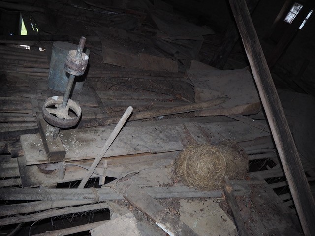
The mill site itself is quite clear with a two story high rear retaining wall on the north side and lower sections of wall on the other three sides. A channel can be identified leading north along the base of the cliff and beside the river flats. This is clearly the remnants of the water race. Stonework is sufficiently intact to determine the overall dimensions and some details of its construction. The building was 14.3 metres long x 6.7 m wide, the walls are up to 0.8 metres thick and the  pit for the water wheel was 2 metres wide. An opening near the south west corner can be matched to one of the ground floor windows.


George Coulstock came from Reigate in Surrey, where his father was a millwright and miller. He first settled in Launceston carrying out the trade of Baker, but in about 1837, he wrote to his parents about a new venture:

I have had an eye to exploring for a site that would answer for a water mill, it being one of the best businesses in the colonies, particularly of New South Wales, there being so few places that will answer the purpose. I have found such a situation about 10 miles up the Yarra from Melbourne, but not more than three by land. It is in a very rough place, and not considered fit for the purpose, but they say there are situations which will do about 30 miles up the river. I have taken the level at a great deal of trouble, and find the fall of nearly 20 feet within a distance of 500 yards, being a rapid rather than a fall. This, of course, I keep a profound secret, and believe, as far as I can learn, that it is on the first of the sections which will be sold, being a square mile or 640 acres I will buy it if possible, and will at all events go as far as 26/ if necessary, although it is not expected to reach 10/ an acre. … I forgot to say that there is a sufficient supply of water at the site I have chosen for the mill to drive six or eight pair of stones the year round and so good is the situation that a small mill may be erected for about £300. I should open a store, improve my own ground and be on the spot to lay out what little money I could for a crop. I calculated if we dissolve to have about £888 and my home; and I could get credit of the merchants if I required it for a thousand or two." 

The site Coulstock had in mind is almost certainly Dight’s Falls, which meets the criteria for both distances from Melbourne and the fall in river height. However, he missed out in obtaining the site possibly because land sales were held in Sydney in 1839, where John Dight was able to acquire Portion 88 Parish of Jika Jika and establish his own water mill shortly after. Rather than venture further up the Yarra, Coulstock found a site on the Plenty River, about 12 miles (or 19 km as the crow flies). This could be the "30 miles up the river" that Coulstock refers to, since geographic knowledge of Melbourne’s waterways was still limited, but it is more likely he was referring to Warrandyte, which was the next section of the Yarra with a suitable fall.

In any case, Coulstock found another site on the Plenty River that suited his purposes, where in 1842 he constructed a two storey stone flour mill driven by a 16 foot (4.9 metre) diameter ‘centreshoot’ or breast-shot water-wheel (where the water is delivered about halfway up the side of the wheel).  

The mill was able to grist 8 bushels of wheat per hour. The first reference in the newspapers simply states:

It is not generally known that a flour mill, worked by water, is in the course of erection at Coulstock's station on the Plenty. 

Kruger photographed the site in about 1871 according to the National Gallery citation. However, the last reference to the mill being operational is in about 1859. The location of his photo is relatively easy to find by following one of the mountain bike tracks towards the 'Serendipity' bridge. 


The point Kruger took his photo is probably the rock outcrop in the foreground of this image. while the other outcrop his assistant, or possibly the land owner is standing on can be seen in the left distance. A photo from the exact position is obscured by the young trees.

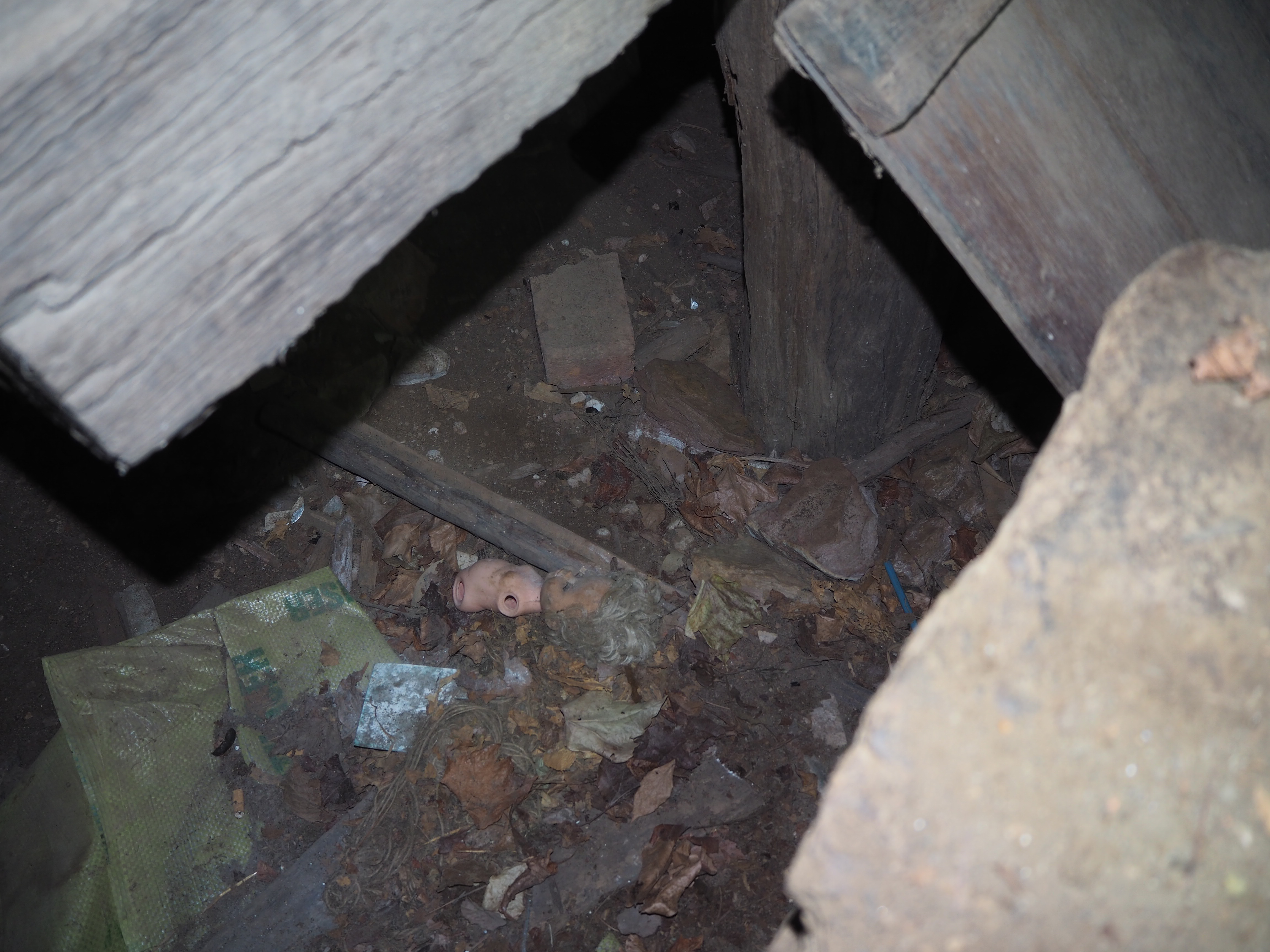
Excavations in June 2022 focussed on the area of the Water Wall. This was the eastern wall of the mill facing the river which held the water wheel. Initially it was thought less than a metre of rubble lay on the floor inside the building, but the excavation went down to 1.6 metres and still could not find the bottom.


The waterwall, however, proved to be a substantial structure more than 80 cm wide. The heavy construction
 was required to take the weight of the wheel and gearing and withstand the vibration and forces generated by the moving machinery.


While the base of the excavation could not be reached (OHS require shoring up holes deeper than 1.5 metres), there was enough evidence revealed to determine the size of the water wheel, and the likely arrangement, with the water wall supporting its full weight and no support for the axle on its outer end. The arrangement was probably something like this (Hyde Mill Wisconsin):


Sunday, May 8, 2022

Mayfield Mill

Moses Thomas built a steam powered flour mill on the Plenty River in 1855. In 1857 he added a water wheel, possibly because of competition from the two other water powered mills on the river which didn't have the extra cost of purchasing coal. 


When the Yan Yean Aqueduct over Plenty River was washed away on floods in 1878 repair work gave us a brief glimpse of  Thomas’s mill with the water wheel framed by the arch of the ruined aqueduct (State Library Victoria). the waterwheel is shows separated from the ill building, with the boiler chimney on the same side of the mill as the wheel. this would suggest the boilers were place close to edge of the escarpment, indicating there must have been a long drive train from the water wheel to the machinery.

During the second day of excavation we came across an archaeological surprise. Instead of an anticipated Spur or Bevel Gear at the end of the drive shaft off the ring gear for transferring the drive from the water wheel to the stones, we found what looked like parts of a crank and con-rod.

This might have been coupled directly to the flywheel of the steam engine. It would be very unusual since it involves converting the rotary motion of the water wheel into reciprocal motion and then back to rotary motion to drive the stones.


However, further excavation revealed the initial interpretation was quite wrong and that the counter-shaft had a spoked pulley on the end, probably about 1 - 1.5 metres diametre.


This indicates that the drive from the waterwheel was through pulleys and a leather belt to the upper level. Although there were not many small artefacts apart from very rusted nails, some small copper rivets with washers were probably from the drive belt, having been used to join the ends of the belt together.


Gibbons & Masters Patent Brick